


Space reconnaissance was, and is, the most classified work the military does in space and for good reason. When your enemy doesn’t know that you know, the information is even more powerful. This work is part of the deepest secrets in the United States.
In the last 10 years, the world has experienced a revolution of information as Space reconnaissance has gone mainstream. What before was never discussed is now available on anyone’s cell phones. This includes detailed satellite imagery of every location in the USA.
If you go on your phone and look up Area 51 in google maps using satellite imagery, you can see the rows of long thin dormitories, communications antennas, hangars, baseball diamond, even the “Janet Air” flights that commute people from Las Vegas. You can see everything except the classified aircraft in the hangars. This is one of the most classified physical locations in the USA. Surrounded by mountains and legendary security of ground sensors, 4-wheel drive trucks and helicopters, this area had previously never been seen by the public. Interesting for the militarily curious but not really a game changer.
With google maps, other imagery has flourished. NASA multi and hyper spectral imagery is now available for the world open on the web. In my own work, I’ve worked with commercial teams to find hundreds of millions of barrels of oil and hundreds of millions of dollars of gold using this imagery. It’s free and you can download it on your phone, you just normally need a master’s degree to be able to digitally process the data into useful information.

When google maps first came out, the most stunning thing was its ease of use. Almost immediately, the military wanted that ability to zoom and review things geographically. I spent hours just zooming in and out and visiting every place I’d always wanted to visit, like Plesetsk, the northern tier Russian launch location. The ability of google maps exceeded anything the US military had when it came out because it was just plain easy to use. With google Earth, the accuracy and ability to overlay other imagery was a game changer for both commercial and military mapping and imagery integration efforts.
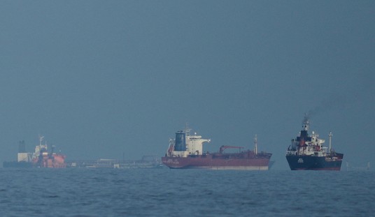
In the latest wave, Hawkeye 360 is bringing radio signal identification and tracking to the commercial world. This ability allows cell phone companies to better understand their customer locations and usage out of the normal range of their own transmission. It also allows for potential logistical tracking of truck fleets or aircraft and ships globally. This same ability has always been an obvious military need.
The ultimate commercial reconnaissance will be Capella, a global radar satellite constellation using small cubesats. This will allow real time tracking of all moving vehicles: cars, trucks, aircraft and missiles over the earth with or without cloud cover. What will this mean for the FAA tracking airliners? This is also a military need that now is looking to be, at least partially, and maybe mostly, filled by commercial data.
This is a real reconnaissance revolution. The brilliant part is that without military requirements that stretch for that last 5% of extreme capability, the commercial world is doing this for MUCH less expense than the government. This should have military leadership thinking hard about what they “really” need, is it worth the cost?
The latest addition to this capability is Artificial Intelligence (AI). This takes the drudgery out of imagery review. Instead of having humans looking at hundreds of images with no interesting information, we would have a computer do that part and simply present the identified data to human intelligence interpreters that can then think about what things mean. This AI work may happen at the sensor. This means less data is transmitted to the ground.
Lt. Gen. VeraLinn “Dash” Jamieson, USAF deputy chief of staff for Intelligence, Surveillance and Reconnaissance said: “(this AI analysis) has to happen on the sensor because I want to be able to create a sensing grid, made up of commercial and government-unique technologies…The airmen no longer are going to be doing the rote of processing and exploitation. They’re going to take that layered data that’s out there, using different applications, and they’re going to have algorithms that are going to allow them to ask the questions that the data reveals.”
Space Reconnaissance is critical and such a big part of military Space, it’s obvious that we need a Space Force Reconnaissance Command. This group could collect, organize, interpret and distribute intelligence and reconnaissance products to military units of all services. Continuous feed of the right information at the right time could be the doctrinal tenet for this group.
Videmus Omnia, “We see everything” in Latin, is the motto of the 55th Strategic Reconnaissance wing and will soon be true for the entire world, not just the military.


Join the conversation as a VIP Member